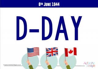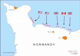
Map of D-Day Landings
This is a useful, simplified map of the Allied D-Day landings on the coast of Normandy, showing the 5 code-named beaches and the Allied forces carrying out the attacks on each beach.
Please note that this is an indicative map and we do not claim accuracy.