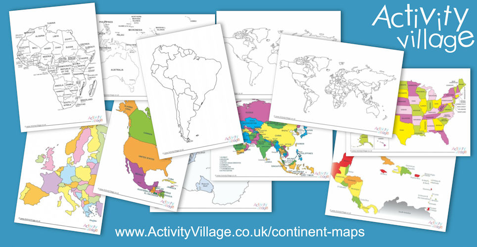
A while back we decided it would be useful to have lots of printable maps on the website, and discovered that breaking down the world into A4 pieces of paper is a very hard job! But here are the results. Now, I'm going to admit that these maps are far from perfect but for pinpointing a country's position in its continent, looking at its neighbours and perhaps its relative size, we think they do the job. They come in black and white and in colour, and we have simple blank versions as well as maps with countries labelled, and maps with countries and capital cities labelled.
Find them here: Continent Maps (and world outline maps too).
We've also added a useful map showing the states of the United States of America.
And of course we've already got a huge collection of country maps within their continent and country map worksheets.

